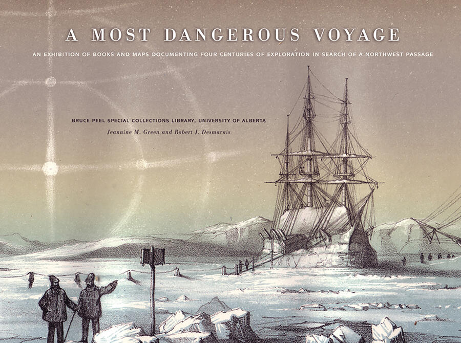
A Most Dangerous Voyage
An Exhibit of Books and Maps Documenting Four Centuries of Exploration in Search of the Northwest Passage
Description
Arctic exploration has long captured the interest and imagination of explorers, nations, and the public. For more than 400 years, European explorers were lured to the Arctic to try to discover a commercial trading route to the Far East, where gold, spices, silk, and other valuable goods were readily available. Expeditions failed to locate the elusive Northwest Passage because virtually nothing was known about the Arctic Archipelago. Early mariners believed that Arctic waters were not frozen for the entire year, but of course it was a false hope that summer months offered safe passage. The cold was always extreme, and tiny wooden vessels were easily crushed against soaring icebergs and ice-choked channels. This exhibit catalogue, published to accompany a 2008 exhibit at the University of Alberta's Bruce Peel Special Collections Library, showcases a selection of books and maps documenting this perilous endeavour.
Reviews
Green and Desmarais, librarians at the Bruce Peel Special Collections Library at the U. of Alberta, Canada, provide a catalog to go with an exhibition held there from May to August 2008 that details 59 books and maps published from 1565 to 1983 by Arctic explorers such as James Cook, George Vancouver, John Franklin, William Edward Parry, George Back, Elisha Kent Kane, and William Gilkerson. The exhibition documents four centuries of exploration in search of a Northwest Passage around the coast of Baffin Island and through or south of the islands between Baffin and the Beaufort Sea to the Pacific. Reference and Research Book News